Adventures in Sailing, Exploration, & Navigation
A few years ago we did a family study on World Exploration. What a grand time we had traveling all over the world and learning about who these men were and where and why they voyaged! One of the most exciting parts of this unit was navigation. Since then, we’ve done a number of navigation explorations which my kids always enjoy. Our kids almost never leave home without their orienteering compasses. I have the privilege of knowing which direction I’m headed at all times. As we head into spring and summer, what could be more fun than having a navigational adventure of your own?
There are so many good resources on this topic and I’m going to suggest some for you. Keep in mind the skill level of your student when you put together an Adventure. Do they like to read? Do you need them to read more? Will your student tackle something new easily or will he need more guidance? These are just some of the questions you need to ask as you decide what sorts of things to put into your child’s Adventure.
Books on Navigation:
Fiction:
Around the World in 80 Days by Jules Verne – The story of a man and his servant to take a bet to travel around the world in 80 days.
The Captain’s Dog: My Journey with the Lewis and Clark Tribe by Roland Smith and Seaman: The Dog Who Explored the West with Lewis and Clark by Gail Langer Karwoski
Carry on Mr. Bowditch by Jean Lee Latham about Nathaniel Bowditch who was the first American Navigator and wrote a book called The American Practical Navigator still used by maritime navigators today. It was the first American publication on navigation. My kids really love this book.
Non-Fiction:
The American Practical Navigator by Nathaniel Bowditch We actually borrowed this one from a local university library. My husband was inspired from the biography to read the book on navigation that Nathaniel Bowditch wrote.
Kaleidscope Kids Lewis and Clark– this one tells facts about the duo in addition to having activities relating to this great American expedition
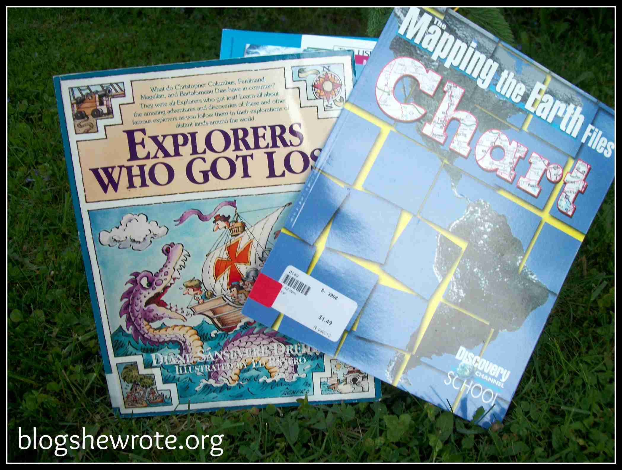
The Story of Maps and Navigation by Anita Ganeri
Tools of Navigation: A Kid’s Guide to the History and Science of Finding Your Way by Rachel Dickinson. This one is a favorite of mine focusing on the history of navigation and tools of course! There is also a section on activities and information about explorers.
The Basic Essentials of Map and Compass by Cliff Jacobson
Wilderness Navigator by David Seidman and Paul Cleveland- written as a hiker survival guide with some great tips on using a compass.
Time Travelers New World Explorers by Homeschool in the Woods- this is a great CD unit on World Exploration and if you need some things all laid out for you with projects, this is an excellent resource! From tying sailor’s knots to making a chip log and a compass, there’s plenty here for students to enjoy.
Tools of the Trade:
Compass– a good orienteering compass is important for learning and using a compass.
Sextant– we have one, but you need water and a horizon for them to work best
Chip Log– piece of wood tied to a rope with knots at regular intervals
Star Charts– to find the North Star and other constellations
GPS– if you have one, you can do some fun things with it, but it’s not necessary
binoculars– to make sightings
Activities:
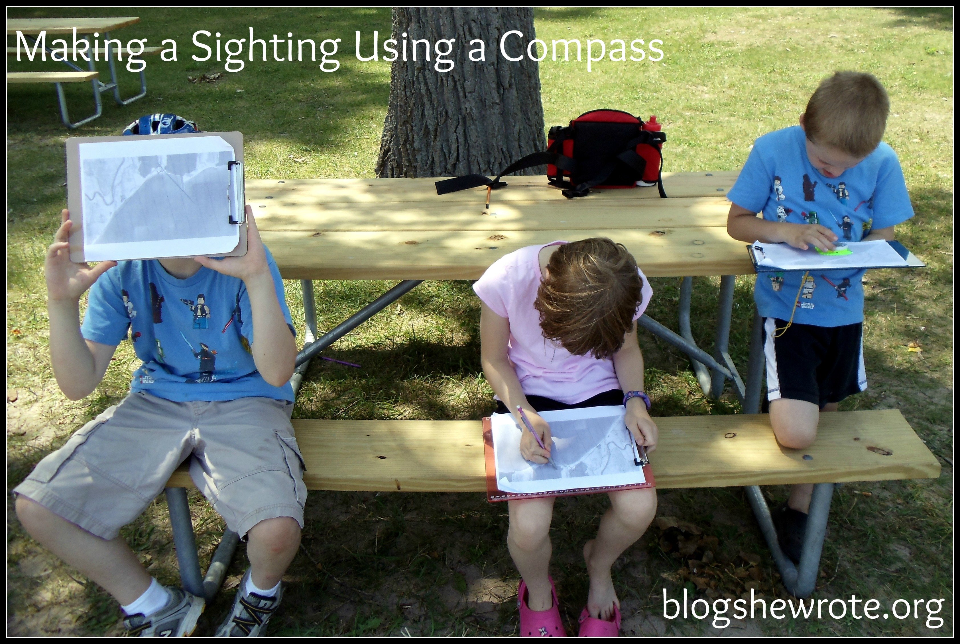
Compass Sighting also known as triangulation– which is using two points to determine your location using a compass, a map, and a pencil. We did this a few summers ago with our kids at Lake Ontario. The kids had a great time following directions. The Institute of Navigation has a chart of lessons available as well including detailed instructions on how to do Triangulation. We do this often using trail maps while we are hiking.
Our next sighting activity will be finding a specific spot on a map rather than finding where we are on the map using the local ball fields and sight lines to specific objects on the field.
Make your own compass– to find magnetic north or south (depending on where you live) We made our own compass using a needle, a cork, a magnet and a dish of water when we were studying Explorers. Here’s how to make the compass:
1. Run a magnet over the needle a few times, always in the same direction. This will magnetize the needle. Put the needle through a piece of cork.
2. Float the cork and needle in your cup of water so the floating needle lies roughly parallel to the surface of the water.
3. Place your ‘compass’ on a still surface and watch what happens. The needle should turn to point towards the nearest magnetic pole – north or south as the case may be.
4. If you want to investigate further, place a magnet near your compass and watch what happens. How close/far does the magnet have be to have an effect?
Use a sextant– to sight the north star to measure your latitude. You can determine this using the maximum height of the sun during the day and the maximum height of the north star at night. It is easiest to do this on a beach (large lake or ocean) where you can site off the water, but you can do it in your backyard using a level as well. The trick is finding a sextant!
Dead Reckoning– used by Lewis and Clark. This method is dependent on being able to make continuous measurements of course and distance traveled. You start at a known point and measure your course and distance from the point on a chart. Your course is measured by a compass and your distance is determined by the speed of the vessel times the time traveled.
We plan to try out a dead reckoning exercise in the ball fields a few blocks away from our home. The plan is to have them walk paces in particular directions and have the kids find an object (like a coupon to our local ice cream stand).
Use GPS– if you have access to a handheld GPS unit, you can have your kids use the GPS to find a waypoint (a set of coordinates that identify a point).
Determine magnetic deviation– the error of a compass due to magnetic deviation. On our ferry ride from the US to Kingston, Ontario last summer (across the St. Laurence Seaway) we attempted to test our compasses for magnetic deviation. Apparently, there is an anomaly in the Kingston Harbor which causes a compass to turn away from magnetic north. If you don’t find yourself in Kingston Harbor, you can just run a magnet near your compass and see what happens. What does this mean for navigators?
Use a chip log – to determine boat speed. A chip log is a piece of wood tied to a rope which has knots at regular intervals. See if you can research how to use the knots in the rope to determine nautical speed in knots!
Map the sky– learn to recognize constellations through the seasons and how navigators used the stars to stay on course.
Navigation where you are– how was your state or area explored? Here in NY, Henry Hudson was among the first Europeans to explore NY. Who is a famous explorer where you live? Study more about him. Where was he from? Who traveled with him? What navigational tools did he have at the time?
Determine Magnetic Declination– this is the difference between magnetic north (or south) on your compass and true north (south). This will vary depending on where you are and over time. You can usually find the magnetic declination on USGS maps for wilderness or navigational use. We have one of some local forest lands which include the magnetic declination as part of the map’s key. If you can’t find out specifically what it is where you are, just investigate what it means and how to find out what it is and why it’s important.
Dan prepared the map of the beach area and coastline of Lake Ontario where we were camping and taught the kids how to make a sighting based on some features of the coast line. He just printed a portion of the Google Satellite map focusing on the State Park coast line.
A quick web search revealed lots of resources on navigation:
A long time favorite of mine is Google Earth and there is a great website on using the program in the classroom.
Google Earth Lessons – a great resource for using Google Earth in the classroom and homeschools. Lessons are organized in various manners depending on how you want your student to use them. Student controlled lessons are great for homeschoolers.
One example from Google Earth Lessons related to navigation is Drake’s Circumnavigation which is a virtual tour of this first trip around the world. There’s information including primary sources to learn more about this incredible feat. They can even make their own Google Earth tour of the circumnavigation using the raw data they are given.
There is a lot to explore on this website which I’m sure Google Earth enthusiasts will enjoy!
You can use Google Earth to find latitude and longitude from National Geographic Xpeditions
Find out more about marine navigation from NOAA using a nautical chart to plot a course.
There are a lot of directions you can go with this Adventure. Older students can enjoy learning navigational techniques and working on making sightings while younger students can try their hand at making a compass or learning to find north on a compass. The reading is endless with many stories based on travel and exploits around the world. You could focus on mapping your own journeys or simply get lost in stories of adventurous sailors.
I hope you’ll be inspired to go exploring with your kids this summer or simply let them explore and tell you all about their discoveries!
Bon Voyage!


3 Comments
Comments are closed.